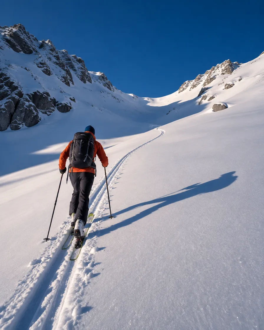
Skiing is just the beginning.
mySKI tracks every sport you do on the mountain, the road and the trail, helps you discover new places and keeps you safe. One app, every summit.
Every season on the mountain, one app
On the piste in winter, on the trail in summer, on your weekday morning run. Track, explore, share and stay safe.
See all features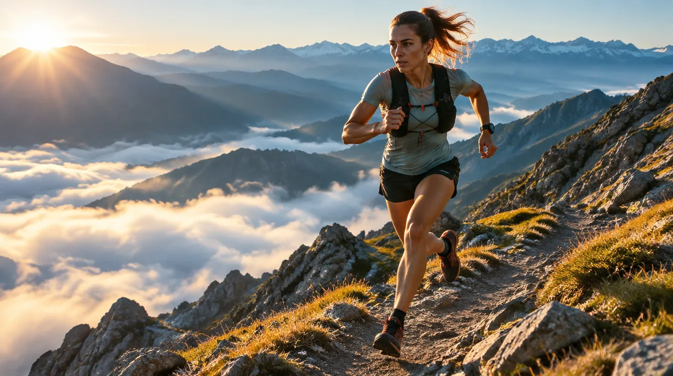
GPS tracking for every sport
A 3-second countdown, auto-pause and a detailed review for skiing, snowboarding, running, trekking and cycling.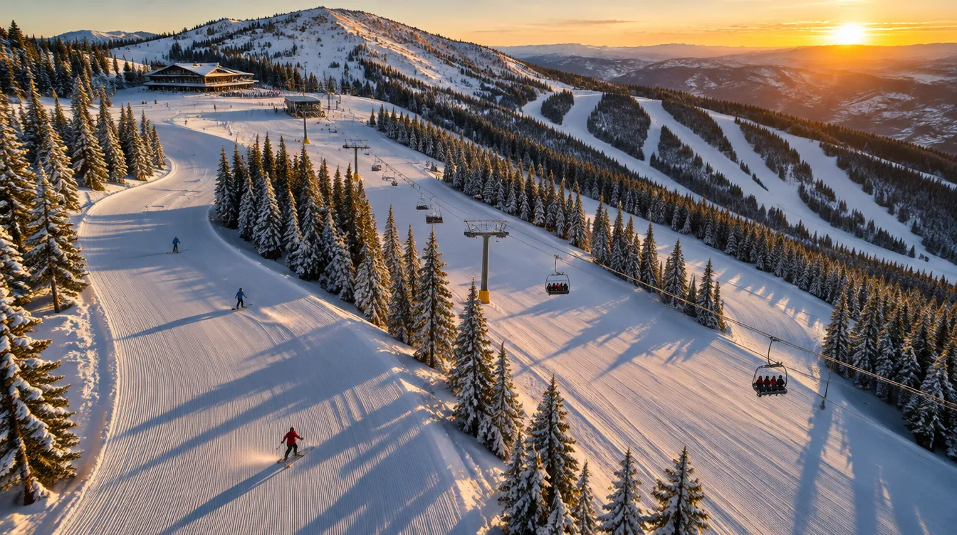
Map-first Explore
Resorts, pistes and running, trekking and cycling routes on one map. Filter by sport, then “Search this area”.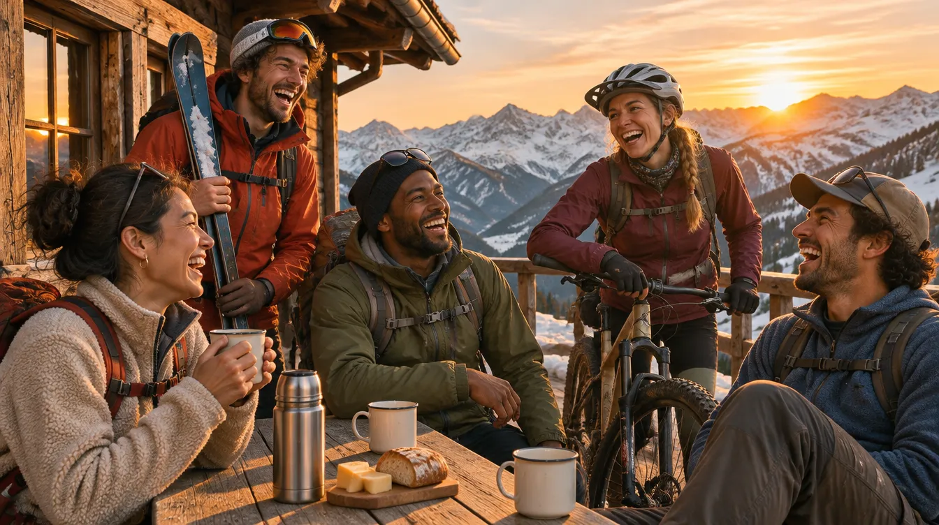
Community & feed
Follow friends, share stories, join communities — every activity becomes a story.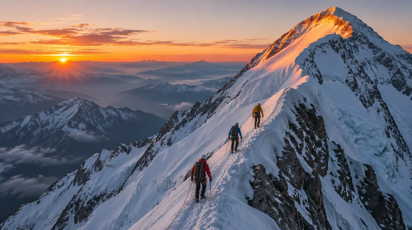
Goals & Miles
Official missions, challenges and badges. Earn Miles as you move and turn them into rewards.
Manual SOS
Send your location to your emergency contacts as an instant notification with one press.
AI discovery assistant
Ask “An easy trekking route this weekend?” and get suggestions based only on data in the app.
mySKI on the map
Türkiye’s ski resorts
From Uludağ to Sarıkamış, every ski resort on one map, built on OpenStreetMap data. Scroll to fly between the mountains.
Ski resorts on the map
- Davraz, Isparta: 2250 m, 17 Runs, 7 Lifts
- Erciyes, Kayseri: 3400 m, 41 Runs, 16 Lifts
- Ergan, Erzincan: 3150 m, 8 Runs, 5 Lifts
- Ilgaz, Kastamonu / Çankırı: 2200 m, 14 Runs, 6 Lifts
- Kartalkaya, Bolu: 2221 m, 31 Runs, 13 Lifts
- Kartepe, Kocaeli: 1630 m, 15 Runs, 7 Lifts
- Konaklı, Erzurum: 3140 m, 15 Runs, 4 Lifts
- Palandöken, Erzurum: 3176 m, 36 Runs, 14 Lifts
- Sarıkamış, Kars: 2634 m, 11 Runs, 5 Lifts
- Uludağ, Bursa: 2543 m, 31 Runs, 28 Lifts
- Abalı
- Akdağ
- Atabarı
- Bitlis
- Bozdağ
- Çambaşı
- Denizli
- El-Aman
- Elmadağ
- Güneykaya
- Hesarek
- Kandilli (biatlon)
- Karacadağ
- Keltepe
- Mergebütan
- Murat Dağı
- Nemrut
- Ovacık
- Saklıkent
- Salda
- Yalnızçam
- Yedikuyular
- Yıldızdağı
- Zigana